Nedslag i Danmarkshistorien Istid
Istiden har præget den danske historie, blandt andet ved at skabe de store tunneldale mod øst og de flade hedesletter mod vest. Skillelinien går lodret nord-syd gennem området. Isen skabte bakker, moser og forhøjninger, som du stadig kan få øje på - når du kigger.
Find ud af mere om istidens voldsomme skaberkraft enten ved Naturudstillingen ved Hovborg, på plancherne ved Hundsbæk Plantage eller ved Sporet i Gamst Søenge.
Rensdyrjægerne fra Jels - de første mennesker i Danmark
De første mennesker i Danmark ankom for over 13.400 år siden. De boede i kort tid i området omkring Jels og efterlod sig synlige spor. De var de første gastroturister - de kom her efter mad. De fulgte...
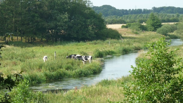
Kongeåen – nature
Kongeåen is a relatively short, 60 km river. The wellspring of the river is located east of Vejen and flows west to the Wadden Sea.
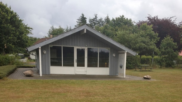
Nature exhibition, Hovborg
The exhibition shows the development of the area around Hovborg from glacier to farmland, from wool hawker to Dalgas (pioneer within the planting of the heat) - to Hovborg of today. So, this small exh...
Marked routes in Rødding Præsteskov
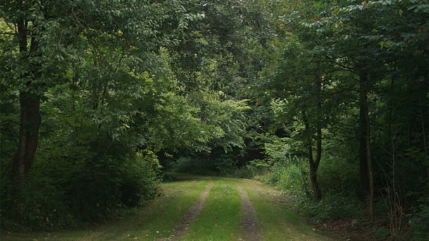
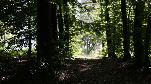
Rødding Præsteskov offers very diverse vegetation, particularly many different types of deciduous trees. When you are on the marked paths, you will also be able to see the holly spreading in the area....
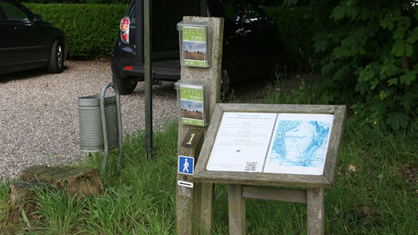
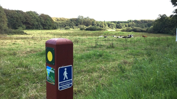
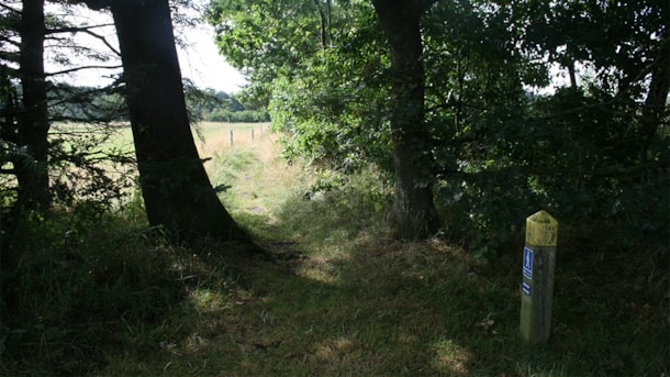
The Millpath at Sønderskov
Møllestien is a 2.7 km long marked route at Sønderskov Hovedgård close to Brørup. The route leads you to visible traces from the cultural landscape of the manor and a range of unique natural phenomena...
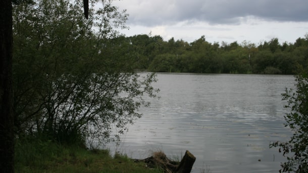
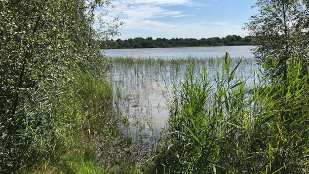
Tranekær Mose (Moor)
Up to the 2nd World War, the lake Tranekær Sø was a moor area, where earlier there was a kettle hole created by a melted ice block from the latest Ice Age.
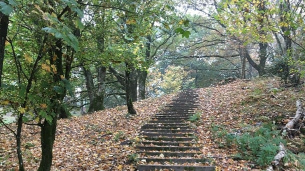
Åtte Bjerge
The hills of Åtte Bjerge, rising steeply from Kongeådalen (stream valley), used to be covered with heather. The changing cultural influences, however, have changed the area quite a lot.
Hundsbæk Plantation and "Fru Mettes Bjerg"
Hundsbæk Plantage with its winding roads and rolling hills is quite unusual for a heathland wood, which makes it an ideal spot for a nature walk.
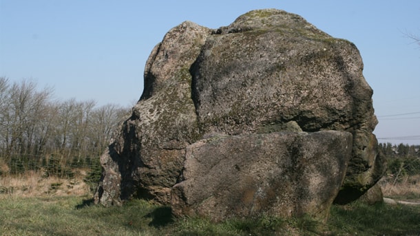
The Hamborggård Rock, Bække
The Hamborggård Rock is located north of Bække close to the Ancient Road.
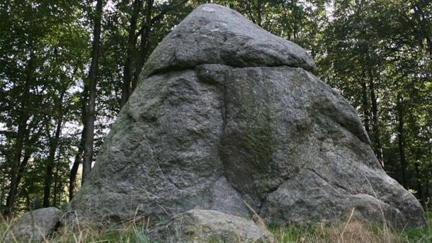
The Tirslund Plantation with the Tirslund Rock
Denmark’s 7th largest stone – Tirslundstenen – is an erratic block of granite lead to this place in the ice age.
Coast to coast Trail
The Coast to Coast Trail is a hiking trail across Jutland and along the 3 large streams: Vejle Å, Holme Å, and Varde Å.
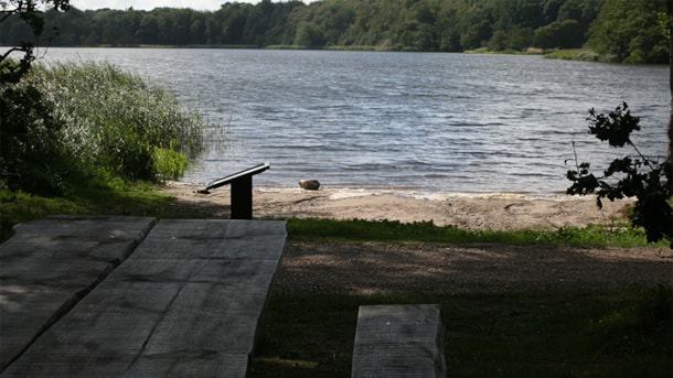
The Jels Lakes
Three lakes in a row in Jels: Jels Nedersø, Jels Midtsø and Jels Oversø. Together they form a small subglacial stream trench, which was created approx. 12000 years ago during the latest glacial age.
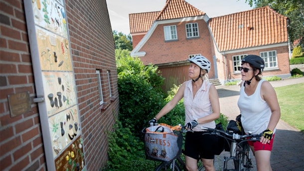
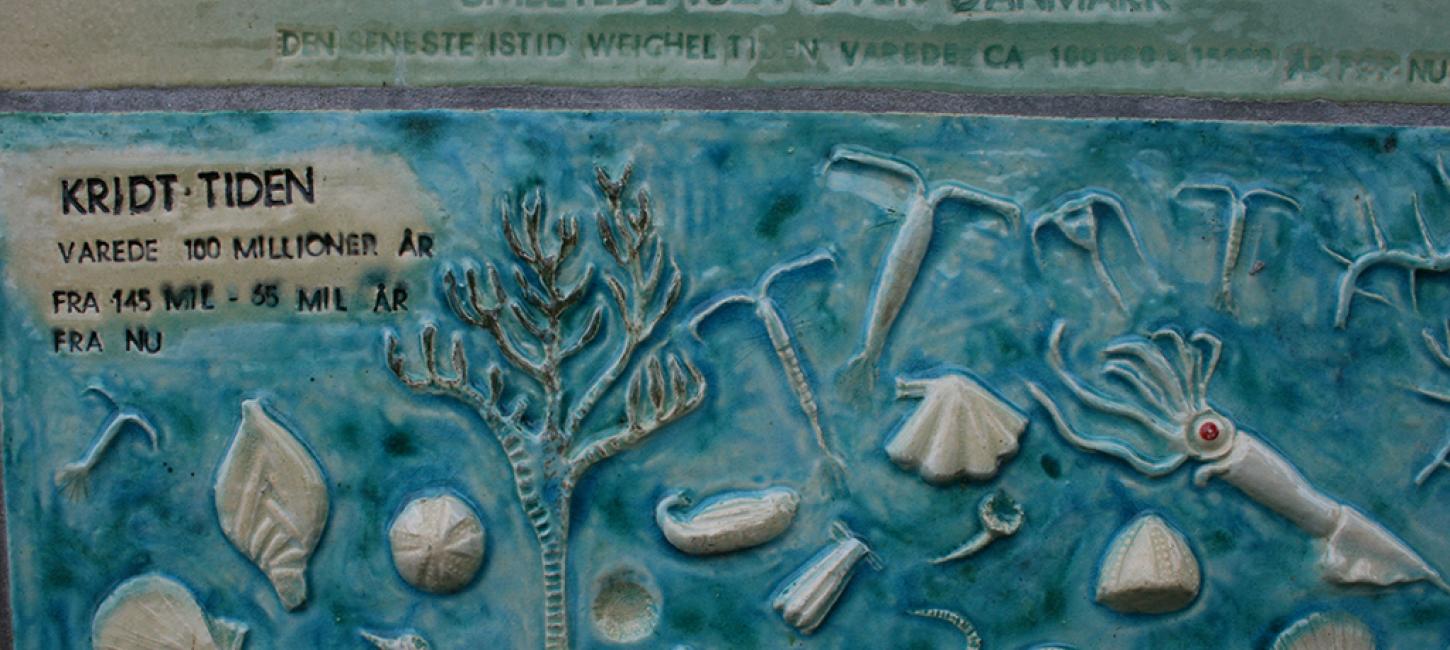
The Ancient Road Chronology
Hærvejens tidstavle (The Ancient Road Chronology) is the title of the 3.4-meter tall ceramic bass-relief that hangs on the west gable of the building next to Bække Church used by confirmands.
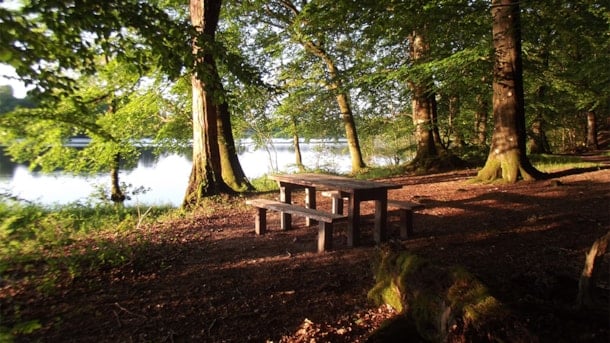
Jels Forest
The forest of Jels Skov encircles the beautiful Jels Lakes. The mainly beech forest also features areas with mixed tree vegetation.
Stursbøl Plantage, nature
Stursbøl Plantation is located south of Jels by the Jutland ridge, which marks the glacial rim during the last Ice Age.
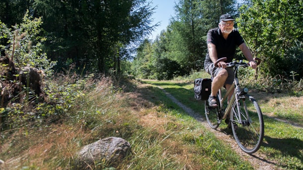
Bikeroute, Bække Gesten
A 32km biking-route, a foray into a landscape shaped by the ice age, with heaths, kettle holes and watersheds.
FAQ
VisitVejen on Facebook
Find us on Facebook - but only in Danish: https://www.facebook.com/VisitVejen/
Where do I find the touristinformation?
På arbejdsdage kan du besøge den bemandede turistinformation - se mere her , hvor du finder adresse, aktuelle åbningstider og hvad vi kan hjælpe dig med.