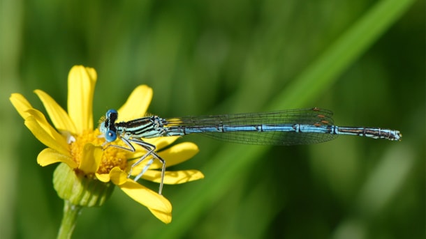
Kystfjernt vand
Vand, oplevelser nær vand og udsigt til vand kan være andet end til saltvand og en kyst. Her i området kan du opleve smukke og særprægede søer og langstrakte åer, som du kan komme helt tæt på. Oversigt over åer, søer og andet vandspejl:
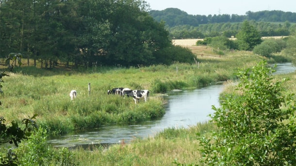
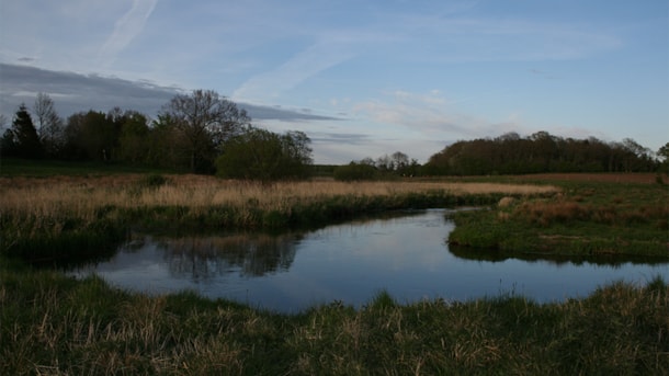
Kongeåen – nature
Kongeåen is a relatively short, 60 km river. The wellspring of the river is located east of Vejen and flows west to the Wadden Sea.
Barsbøl Hiking Route by the lakes of Jels
The 3.5 km Barsbøl Hiking Route is signposted with blue markings and runs through the forest of Barsbøl Skov south of the lake of Jels Midtsø.
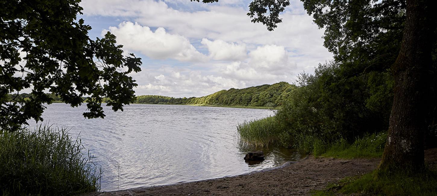
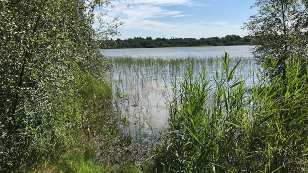
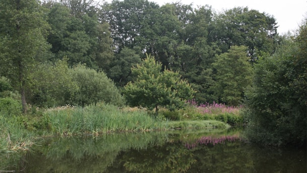
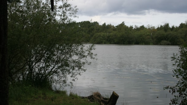
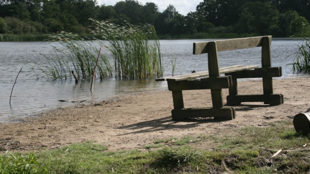
The Jels Lakes
Three lakes in a row in Jels: Jels Nedersø, Jels Midtsø and Jels Oversø. Together they form a small subglacial stream trench, which was created approx. 12000 years ago during the latest glacial age.
Tranekær Mose (Moor)
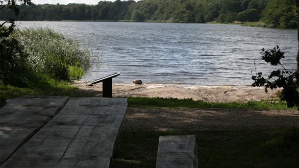
Up to the 2nd World War, the lake Tranekær Sø was a moor area, where earlier there was a kettle hole created by a melted ice block from the latest Ice Age.
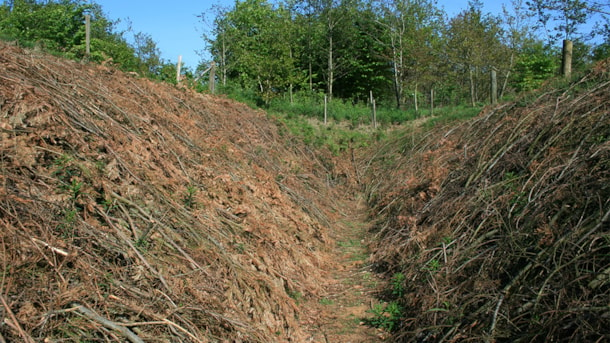
Anti-tank trench in Lintrup
The anti-tank trench in Lintrup is a reconstruction showing how the approx. 255 km long Gudrunstilling (fortification system) from World War II looked. Next to the anti-tank trench, you find a magnifi...
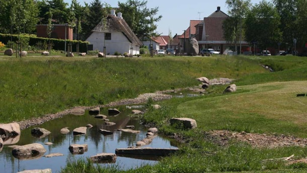
Meadow 'Højskoleengen' in Rødding
The town of Rødding is the birthplace of the schoolsystem known as ‘højskoler’. In the western part of the town a meadow has been made under the name of ‘Højskoleengen’. It is located between the town...
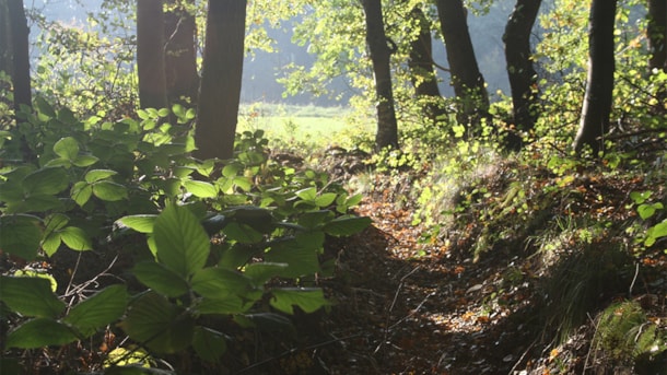
Sommerlystskoven, Rødding
Sommerlystskoven ligger i den sydlige udkant af højskolebyen Rødding, ca. 500 m fra bymidten med hotel, højskole og idrætscenter.
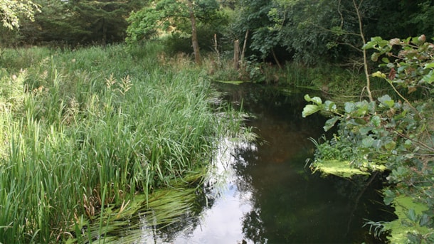
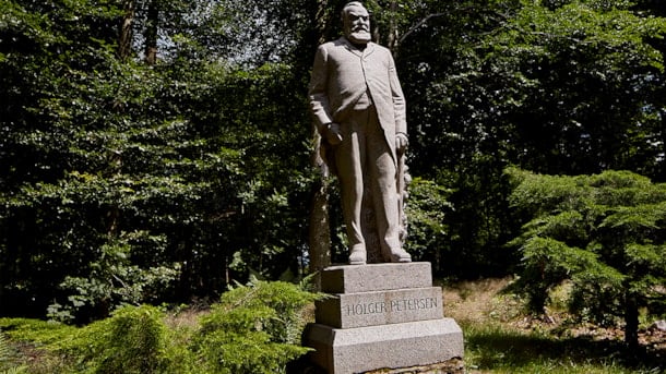
Jels Voldsted, nature
In the area around the Jels Voldsted car park you can enjoy your coffee or lunch by the picnic tables with views to the forest and the lake of Jels Midtersø. At the northern end of the parking lot the...
Baldersbæk og Villa Baldersbæk
The natural resort around the country seat Baldersbæk tells the story of Københavnerplantagerne (Copenhagener plantations), their owners and the view on nature at the beginning of the 20th century. He...
Find mere information her
VisitVejen on Facebook
Find us on Facebook - but only in Danish: https://www.facebook.com/VisitVejen/
Where do I find the touristinformation?
På arbejdsdage kan du besøge den bemandede turistinformation - se mere her , hvor du finder adresse, aktuelle åbningstider og hvad vi kan hjælpe dig med.
Se digital udgave af den trykte VisitVejen guide 2024
Her finder du byerne
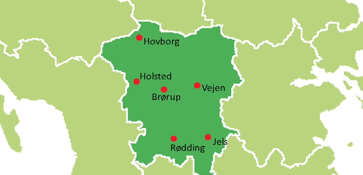
Photo:SusDesign