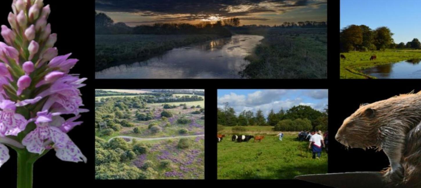
18 Naturperler
18 særlige landskabstyper, naturformer og kulturhistoriske spor i Vejen Kommune. Seværdige naturoplevelser og historier, som måske vil overraske dig, fordi det er steder, vi ikke så ofte hører om.
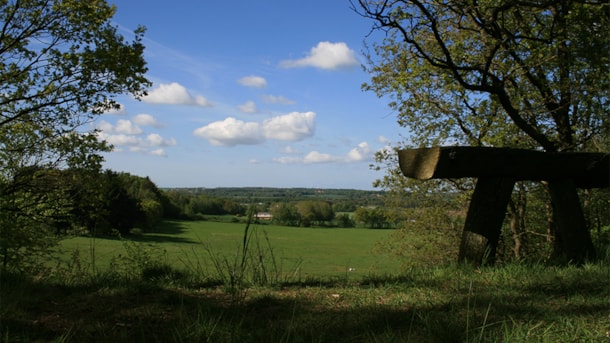
Naturperlerne viser den mangfoldighed og variation i landskabs- og naturtyper, der findes langs den jyske højderyg. Her er frodige enge og tørre heder, dybe skove og blanke åer, udsigter og indsigter. I Vejen-området finder du alle typerne. De skaber et varieret og rigt landskab.
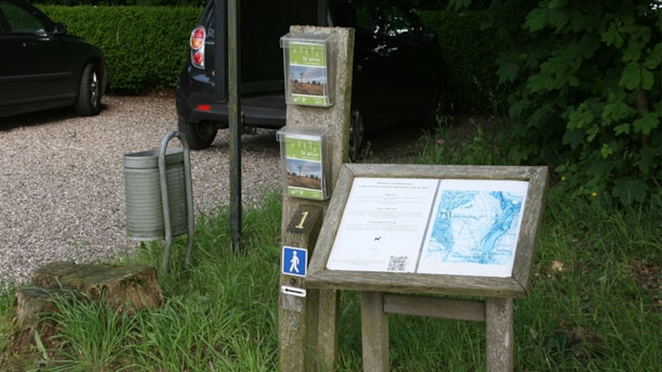
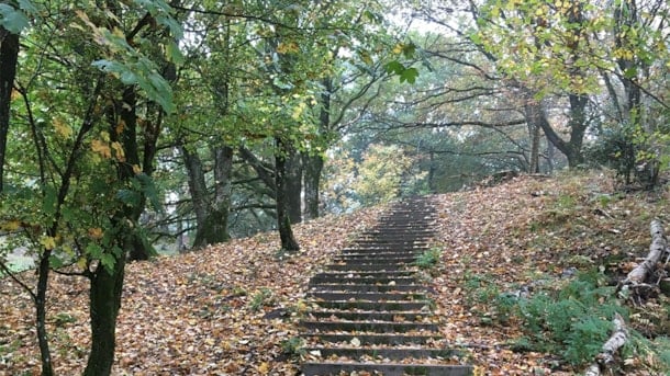
Mange af stederne har gode afmærkede ruter, gode parkeringsforhold og en bænk at hvile ud på eller nyde kaffen. Du kan også finde listen over Naturperlerne i VisitVejen App'en hvor nogle af turene findes som digitalt selvguidede ture. Har du mod på andre naturoplevelser i området, så kan du finde 6 spændende Spor i Landskabet og 2 Kløverstier med hver 4 underruter. Alle disse ruter er afmærkede og nemme og afslappende at gå.
Du kan også finde stederne i denne bladre-pdf (Vær opmærksom på, at denne digitale brochure ikke opfylder tilgængelighedskravene. Brug i stedet de digitale beskrivelser, der findes længere nede på denne side.)
Vil du se stederne på et kort for at få bedre overblik, så kig kort med 18 naturperler. Leder du efter steder at overnatte i naturen - eller tæt på den, så brug siden med Naturovernatning. Vil du have en turguide med på en tur, så find inspiration på siden med naturguider.
Coast to coast Trail
The Coast to Coast Trail is a hiking trail across Jutland and along the 3 large streams: Vejle Å, Holme Å, and Varde Å.
Baldersbæk og Villa Baldersbæk
The natural resort around the country seat Baldersbæk tells the story of Københavnerplantagerne (Copenhagener plantations), their owners and the view on nature at the beginning of the 20th century. He...
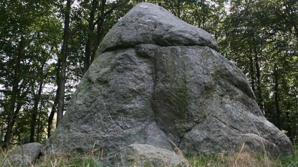
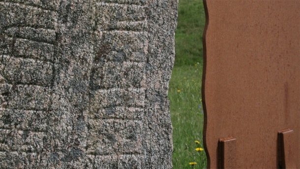
The Tirslund Plantation with the Tirslund Rock
Denmark’s 7th largest stone – Tirslundstenen – is an erratic block of granite lead to this place in the ice age.
Tranekær Mose (Moor)
Up to the 2nd World War, the lake Tranekær Sø was a moor area, where earlier there was a kettle hole created by a melted ice block from the latest Ice Age.
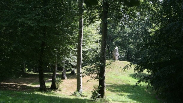
The Bække Monuments, Klebæk Høje
Located on the northern outskirts of the village of Bække in South Jutland, Klebæk Høje is an archaeological site that consists of two domed barrows from the Bronze Age and a Viking Age stone ship wit...
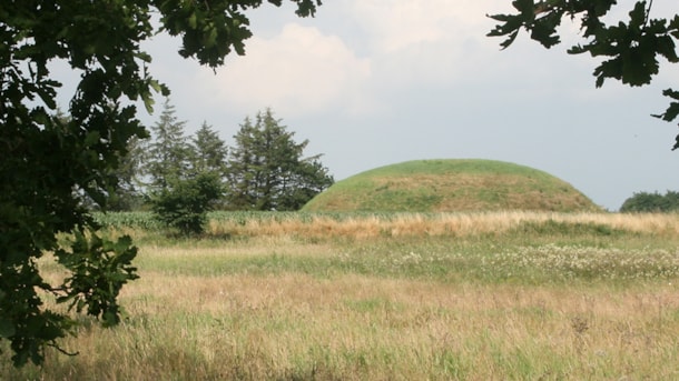
Skelhøj, barrow at Tobøl
Skelhøj is an impressing big burial mound from the Bronze Age near to Kongeåen and Tobøl.
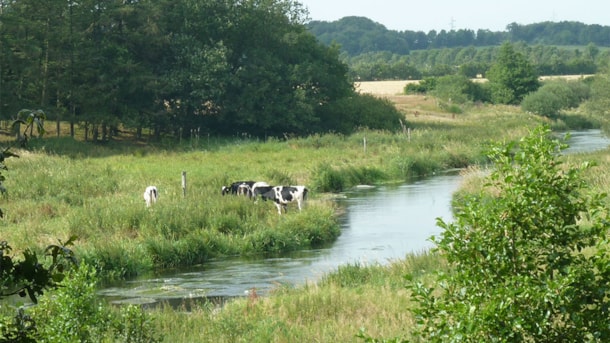
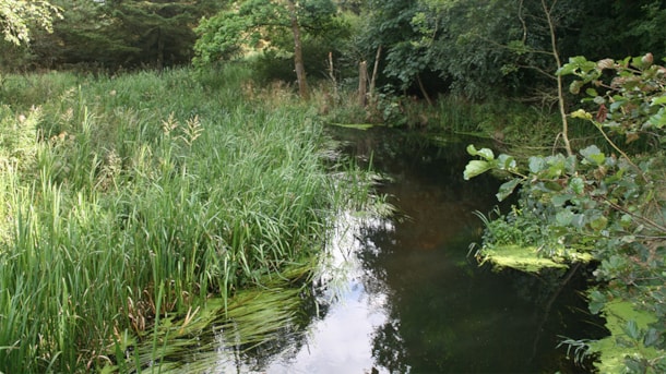
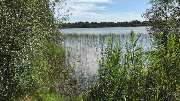
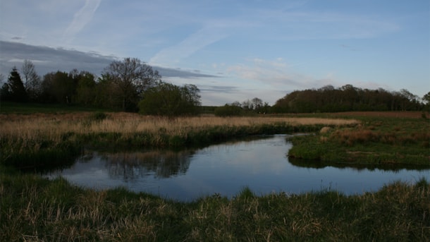
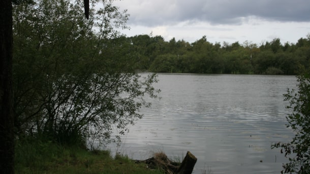
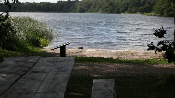
Kongeåen – nature
Kongeåen is a relatively short, 60 km river. The wellspring of the river is located east of Vejen and flows west to the Wadden Sea.
Emplacement in Dover
Kanonstillingen i Dover is a relic from World War II and, at the same time, it offers a scenic view of Kongeådalen (valley) and a small nature path.
Skibelund Krat
Skibelund Krat is today a monumental park. The location was established in 1865 after the loss of Southern Jutland to Prussia and was used as a gathering place for celebrations.
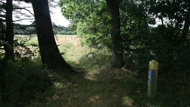
The Millpath at Sønderskov
Møllestien is a 2.7 km long marked route at Sønderskov Hovedgård close to Brørup. The route leads you to visible traces from the cultural landscape of the manor and a range of unique natural phenomena...
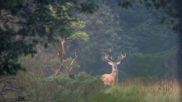
Åtte Bjerge
The hills of Åtte Bjerge, rising steeply from Kongeådalen (stream valley), used to be covered with heather. The changing cultural influences, however, have changed the area quite a lot.
The Jels Lakes
Three lakes in a row in Jels: Jels Nedersø, Jels Midtsø and Jels Oversø. Together they form a small subglacial stream trench, which was created approx. 12000 years ago during the latest glacial age.
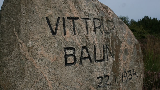
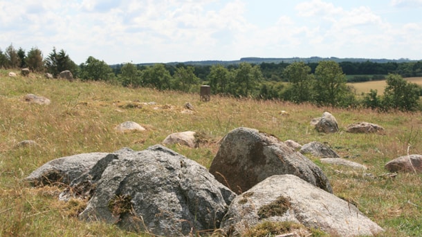
Vittrup Baun, Bække
A hillscape reaching 101 meters in height, Vittrup Baun towers over the flatlands west of Bække. The hills are an area of natural beauty with a number of ancient heritage sites, which is why the area ...
Burial site, Harreby
The burial sites at Harreby south of Rødding in Sønderjylland departs from the traditional picture of a dolmen from the Stone Age: 3 stones supporting a large flat horizontal capstone situated on a hi...
Her kan du finde mere inspiration
Where do I find the touristinformation?
På arbejdsdage kan du besøge den bemandede turistinformation - se mere her , hvor du finder adresse, aktuelle åbningstider og hvad vi kan hjælpe dig med.
VisitVejen on Facebook
Find us on Facebook - but only in Danish: https://www.facebook.com/VisitVejen/